


Description
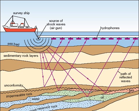
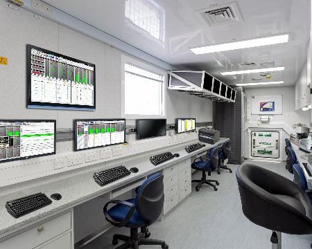
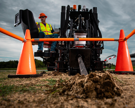
Seismic Data Acquisition Systems are integral to the exploration and production phases of the petroleum and natural gas industry. These systems employ sophisticated sensors and recording devices to capture seismic waves generated by controlled energy sources, such as vibrators or explosive charges. The captured data is then processed to create high-resolution images of subsurface geological formations. This process allows geoscientists and engineers to identify potential hydrocarbon-bearing structures with remarkable accuracy. Modern seismic systems include land, marine, and ocean-bottom seismic setups, each tailored to specific environmental and geological conditions. Land-based systems often use geophones and cable networks spread across large areas, while marine systems deploy hydrophone arrays towed behind survey vessels or positioned on the seabed. Advanced acquisition software integrates GPS, telemetry, and real-time quality control to ensure precise data capture. The benefits of these systems include improved reservoir characterization, reduced exploration risk, and optimized drilling strategies. By providing insights into rock formations, fault lines, and fluid distributions, seismic data allows operators to plan well trajectories, avoid hazards, and maximize production efficiency. Furthermore, recent innovations in 3D and 4D seismic imaging enable dynamic monitoring of reservoirs over time, enhancing recovery rates and supporting sustainable resource management.


Reviews
There are no reviews yet.